MIT develops interactive digital environment to understand Brazil’s favelas
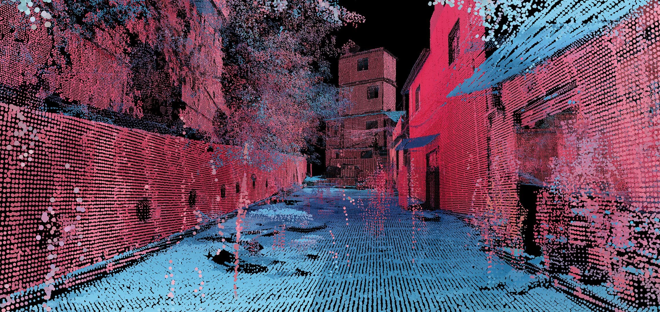
The MIT Senseable City Lab has unveiled their “Favelas 4D” project, dedicated to mapping the largest favela in Rio de Janeiro, Brazil. Using 3D laser scanning technology to analyze the urban landscape of Rocinha, the project seeks to understand and quantify the architectural logic of one of Brazil’s famous informal settlements.